

GPS-independent positioning
for confident agriculture
Stable navigation. Precise work. Greater yields.
Columbus is a positioning system that operates without GPS and provides stable, precise navigation under jamming, spoofing, and loss of satellite signal.
It integrates with AGAT autonomous machinery-control systems and enhances their capabilities.
GPS unavailable
ACTIVE- Speed
- 6.8 km/h
- Track error
- 2.3 cm
- Heading
- 178.4°
- Mode
- Vision+IMU
Works
when others stop
Independence
from GPS
from GPS
High accuracy,
up to 2–5 cm
up to 2–5 cm
Integration
with any machinery
with any machinery
Stability under electronic
warfare and spoofing
warfare and spoofing
Resource savings
and increased yields
and increased yields
Works in the field,
not in a laboratory
not in a laboratory
Problem: unstable GPS
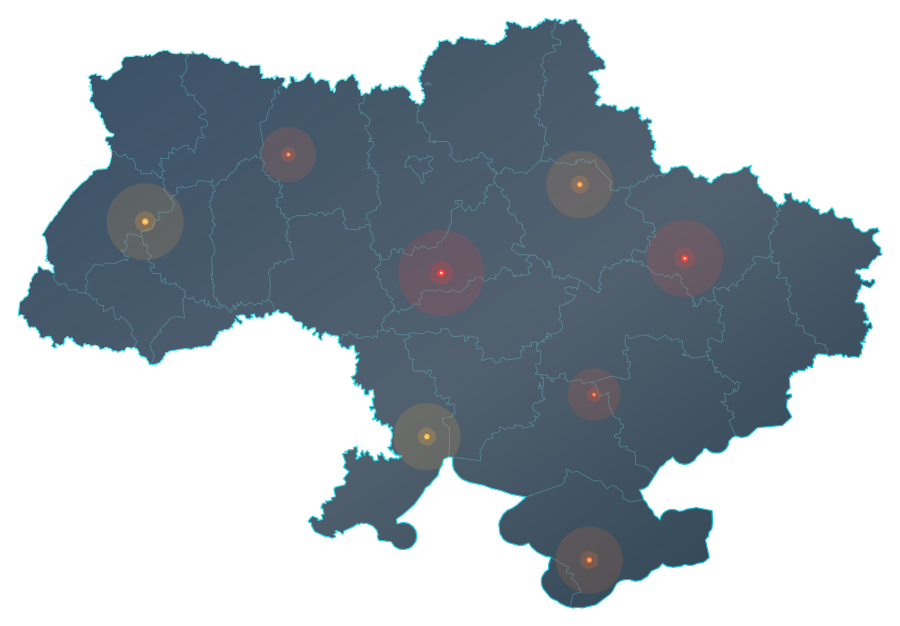
Interference level
- High
- Medium
- Low
Boundary: geoBoundaries / © OpenStreetMap · ODbL
GPS jamming and spoofing are a reality for farmers in Ukraine. This leads to direct crop losses, excessive fuel consumption, and risks to machinery.
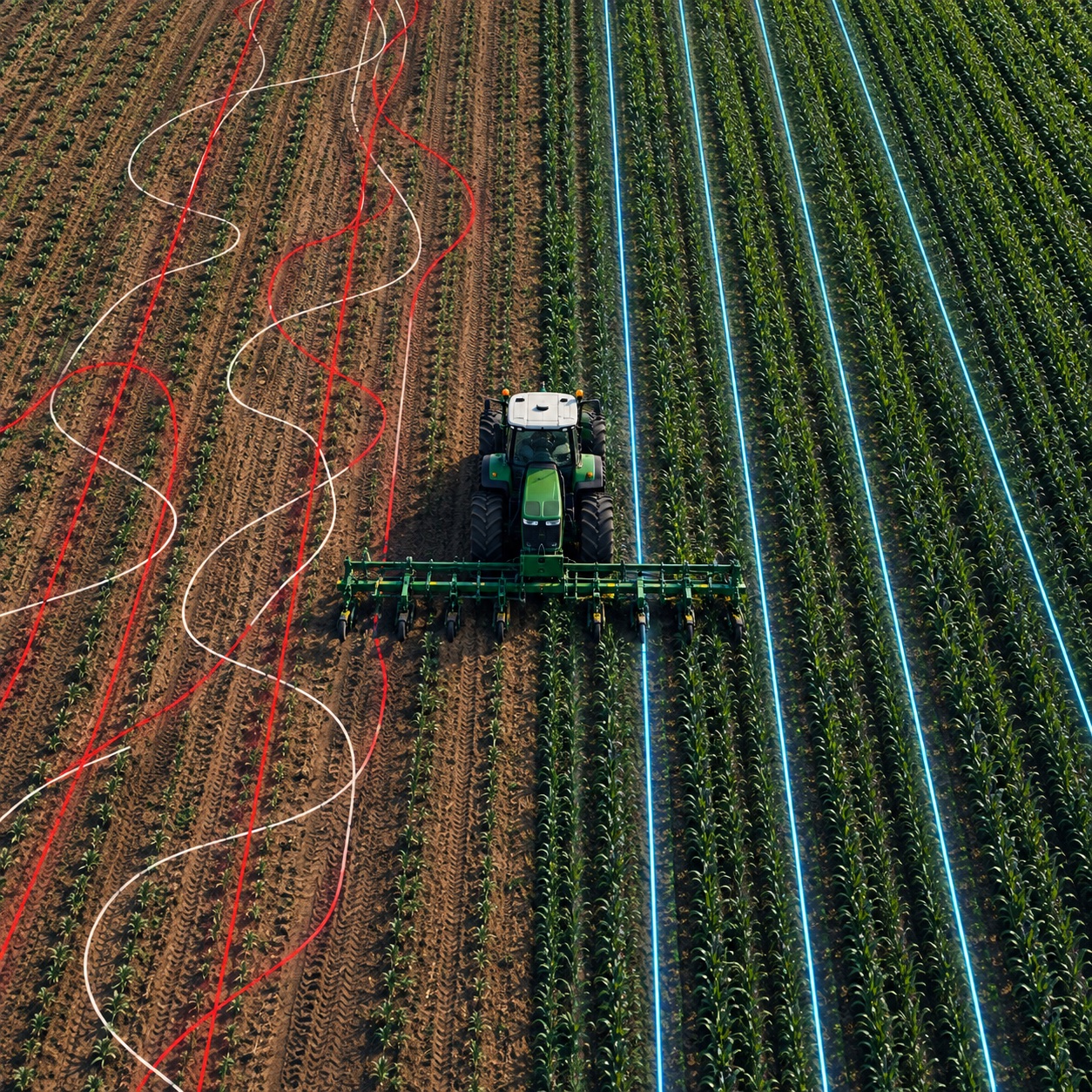
Solution: Columbus
Without Columbus(errors, missed areas)With Columbus(stable line)
How it works
- Visual odometry
camera in the field - Inertial navigation (IMU)
and compass - Wheel / machine CAN data
- Map matching
- Fusion and AI algorithms
- Seamless return to RTK
when available

AGAT integration
AGATAutonomous machine control
GPS-independent positioningTogether—more capabilities. Columbus enhances AGAT autonomous systems by providing reliable positioning under any conditions.
Learn about integration
Results for your business
- +5–15%yield
- −10–15%fuel costs
- More
operating time - Fewer missed areas
and overlaps - Faster
payback - Stable operation
under critical conditions
Illustrations and figures are from the Columbus concept, not test results.